Location Intelligence & Data Privacy
Beyond the Street Address: How Machine-Readable Coordinates Are Quietly Replacing the American Address
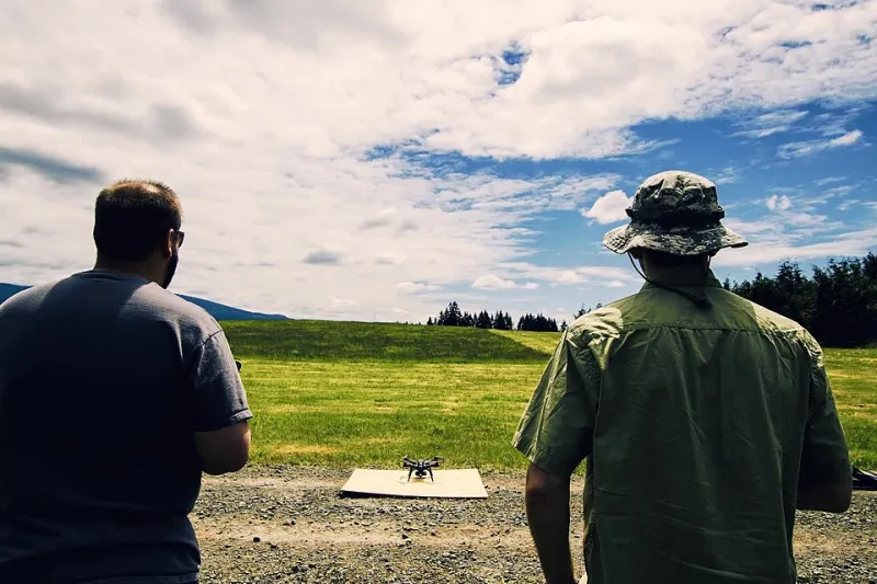
Delivery drones, autonomous vehicles, and global e-commerce are forcing a reckoning with the humble street address. FIPS codes, parcel identifiers, and geohash strings are emerging as the true addresses of the machine age — and the implications reach from rural mail routes to emergency dispatch.