Three People and a Plotter: A Field Guide to Rescuing Your County's Underfunded GIS Office

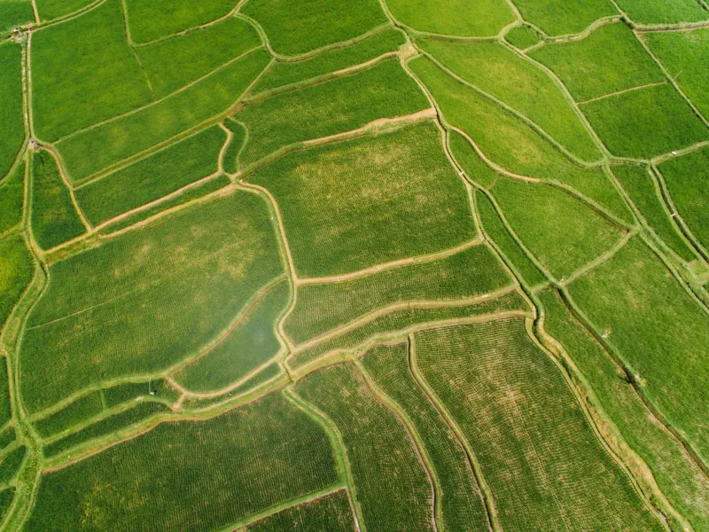
Photo: Sleepingstar, CC BY-SA 4.0, via Wikimedia Commons
In a great many American counties, the entire geospatial enterprise fits in one office: a GIS coordinator, an intern, a shared license of aging desktop software, and a large-format plotter from the previous decade. Yet this office is expected to maintain the parcel fabric, support 911 dispatch, redraw election districts, manage the broadband map, and answer every 'who owns this land?' question that arrives at the counter.
It does not have to stay this way. Underfunded GIS programs can be rescued, and the rescue usually starts with people outside the office.
Understand What You're Asking For
Advocacy begins with fluency. Before attending a budget hearing, learn what the department actually does and what it costs. Most county GIS budgets are a rounding error — often less than one percent of total spending — while the office touches emergency management, taxation, planning, and public works simultaneously. That leverage argument is your foundation: a modest investment in GIS multiplies across every other department.
Demand an Open Data Portal
The single highest-impact, lowest-cost ask is an open data portal. Publishing parcels, addresses, zoning, and infrastructure layers publicly reduces counter traffic, attracts business investment, and lets universities, nonprofits, and civic technologists build value the county could never afford to build itself. Dozens of counties have launched portals for the cost of a part-time contractor. If yours has not, ask why — publicly, in a commissioners' meeting, with a specific proposal in hand.
Build a Regional Consortium
No small county can sustain a world-class GIS operation alone, but ten of them together can. Regional GIS consortiums — common across the Midwest and already proving themselves in states like Minnesota and Kansas — pool licensing costs, share imagery flights, standardize data schemas, and give each member access to expertise none could hire individually. A single resolution from three neighboring commissions can create one. Show up and propose it.
Recruit Unlikely Allies
The most effective GIS advocacy coalitions are not made of map nerds. They are made of the county sheriff who wants better dispatch accuracy, the economic development director chasing a prospective employer, the volunteer fire chief who cannot find rural addresses, and the title company that wants current parcels. Each has a story commissioners already understand. Map the coalition before you map the county.
Show Up This Year
Practical steps for the next twelve months: attend one budget hearing and ask one specific question about GIS funding; submit a public records request for the county's data inventory to establish a baseline; write a letter to the editor tying mapping investment to a local issue — broadband, flood response, property taxes; and if your state has a geographic information council, join it and bring your county's story.
The Case in One Sentence
Every dollar spent on local GIS returns value in faster emergency response, cleaner property records, better planning, and public data anyone can use. The office with three employees and a fax machine is not a joke — it is an untapped asset waiting for someone to make the argument. Be that someone.