Deliberately Dark: The Security Redactions Quietly Hollowing Out America's Public Infrastructure Maps
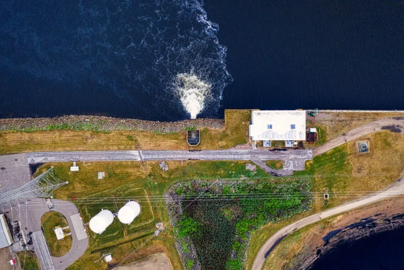
Open a publicly available GIS portal for almost any major American city, and the map will appear comprehensive. Roads, parcels, zoning boundaries, floodplains — the layers stack up with impressive density. But look closer, and a different picture emerges. Certain locations are conspicuously blank. Facilities that consume enormous amounts of land and power leave no visible footprint. In the cartographic record, they simply do not exist.
This is not an accident. It is policy.
Across federal, state, and municipal GIS databases, thousands of sites classified as critical infrastructure have been deliberately removed, obscured, or degraded in publicly accessible datasets. Power generation facilities, municipal water treatment plants, natural gas distribution hubs, and major telecommunications switching centers are among the most commonly redacted categories. The rationale is straightforward: detailed spatial data about these facilities could, in theory, assist adversaries in planning targeted attacks.
What is less straightforward — and far less publicly discussed — is the cascade of practical consequences that follows when the maps emergency responders, utility engineers, and urban planners rely upon are systematically incomplete.
The Architecture of Omission
The legal scaffolding supporting infrastructure redaction in GIS data is extensive. The USA PATRIOT Act, the Homeland Security Act of 2002, and subsequent executive directives created frameworks under which federal agencies could withhold or restrict geospatial information deemed sensitive. The Department of Homeland Security's designation of sixteen critical infrastructure sectors — ranging from energy and water systems to communications and transportation — effectively provided a broad mandate for data restriction that filtered down to state and local governments.
The result is a patchwork. Some states maintain robust internal GIS databases that include sensitive infrastructure but restrict access to credentialed users through secure portals. Others have simply removed the data entirely, even from internal systems, out of an abundance of caution or a lack of resources to build tiered access controls. Federal datasets, including those maintained by the Energy Information Administration and the Environmental Protection Agency, often publish facility-level data but deliberately degrade locational precision — listing a power plant as present within a county rather than providing coordinates accurate enough to be operationally useful.
For GIS professionals working within this environment, the challenge is not merely technical. It is philosophical. The discipline of geographic information science is, at its core, committed to spatial completeness. Every deliberate gap represents a departure from that principle, and every departure carries risk.
When the Map Fails the Responder
The consequences of infrastructure redaction become most acute during emergencies. First responders — firefighters, hazmat teams, emergency medical personnel — rely on GIS-integrated dispatch systems that draw from the same public and semi-public databases subject to redaction policies. When a fire breaks out near an unmarked high-voltage substation, or when a chemical release occurs at a water treatment facility whose precise location is absent from the county's emergency response GIS layer, the margin for error narrows dangerously.
After-action reports from several major industrial incidents over the past decade have flagged incomplete spatial data as a contributing factor in delayed or misdirected response efforts. In some cases, responders were unaware of the nature of a facility until they were already on scene. In others, mutual aid teams arriving from neighboring jurisdictions had no way to reconcile their GIS data with the actual geography they encountered.
The irony is pointed. Redaction policies designed to protect critical infrastructure from external threats can, under certain conditions, compromise the ability of the very agencies responsible for defending that infrastructure to respond effectively when something goes wrong.
Tiered Access and the Promise of Secure Spatial Data
The geospatial community has not been passive in the face of this dilemma. Over the past several years, a growing number of agencies have moved toward tiered access models that preserve data integrity without exposing sensitive locational information to unrestricted public view.
These systems operate on the principle that the same dataset can serve multiple audiences at different levels of resolution or detail, depending on the credentials of the user. A public-facing GIS portal might show a generalized representation of a water treatment facility — enough to indicate its general service area but insufficient to guide a targeted physical attack. A credentialed emergency management professional accessing the same system through a secure authentication layer would see the full dataset: precise coordinates, facility footprints, access points, hazardous material storage locations, and utility connection nodes.
The National Information Exchange Model (NIEM) and the Homeland Security Information Network (HSIN) have both been used as frameworks for managing this kind of differentiated data sharing. Several states have built their own secure GIS environments specifically for critical infrastructure mapping, accessible only to vetted personnel from law enforcement, emergency management, and utility operations.
Still, implementation remains inconsistent. Smaller municipalities and rural counties often lack the technical capacity or funding to build and maintain tiered access systems. For these jurisdictions, the choice frequently defaults to either full redaction or no protection at all — neither of which serves the goal of informed emergency response.
Emerging Technologies and the Mapping of the Invisible
Beyond administrative solutions, a new generation of geospatial technologies is beginning to offer more sophisticated approaches to the problem of mapping sensitive infrastructure without creating exploitable public records.
Differential privacy techniques, borrowed from the data science community, are being explored as a means of introducing controlled statistical noise into infrastructure location data — preserving analytical utility at the aggregate level while obscuring precise coordinates at the facility level. Homomorphic encryption, still largely experimental in geospatial contexts, holds the theoretical promise of allowing spatial computations to be performed on encrypted location data without ever decrypting the underlying coordinates.
Satellite imagery analysis presents a separate challenge. Commercial high-resolution imagery, available from multiple vendors and accessible to the general public, already reveals the physical footprints of most major infrastructure facilities regardless of whether they appear in official GIS databases. Redacting a power plant from a municipal GIS layer does not erase it from a Planet Labs or Maxar satellite pass. This reality has prompted some security analysts to question whether infrastructure redaction in GIS databases provides meaningful protection at all, or whether it primarily succeeds in degrading the quality of data available to legitimate users while doing little to impede a determined adversary with commercial imagery access.
This is not a fringe argument. It is increasingly central to the policy debate, and it suggests that the current approach — broad redaction applied inconsistently across jurisdictions — may be due for a fundamental reassessment.
Mapping Toward a Workable Balance
For GIS professionals, the infrastructure redaction debate ultimately resolves into a question about what maps are for. If a map's primary function is to serve the public — to support emergency response, urban planning, environmental oversight, and civic transparency — then systematic omissions carry a cost that must be weighed honestly against the security benefits they provide.
The path forward is unlikely to be simple. It will require sustained collaboration between the geospatial community, federal security agencies, state emergency management offices, and local governments. It will demand investment in the tiered access infrastructure that smaller jurisdictions currently cannot afford. And it will necessitate an honest reckoning with the limits of redaction as a security strategy in an era of ubiquitous commercial satellite imagery.
What it cannot afford to do is leave the current patchwork in place indefinitely — a system in which the gaps in America's official maps are simultaneously too large to protect emergency responders and too small to stop anyone who is genuinely determined to find what lies within them.