Paper Foundations: Inside the Race to Digitize America's Original Land Surveys Before They Crumble
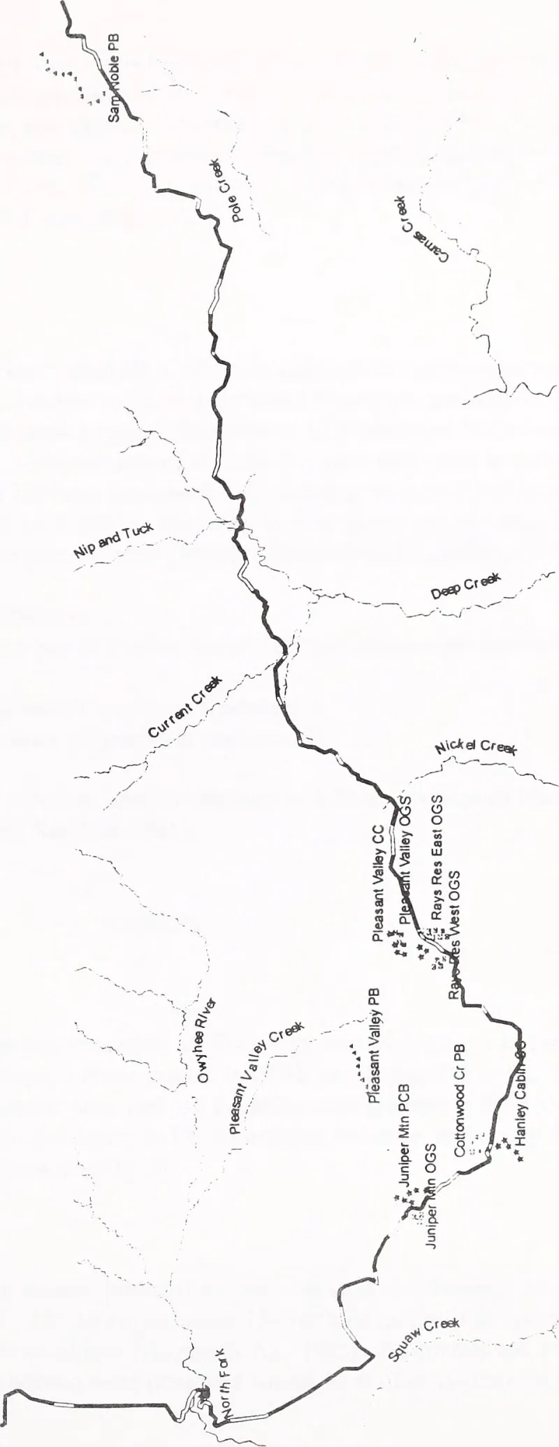
Photo: Golden Eagle Audubon Society; United States. Bureau of Land Management. Idaho State Office; United States. Bureau of Land Management. Boise District Office, No restrictions, via Wikimedia Commons
The most consequential maps in the United States are not displayed on a screen. Many of them have never been displayed at all. They are folded into acidic folders in county vaults, tucked behind probate files and tax ledgers: original survey plats from the 1800s, chain-of-title sketches, metes-and-bounds descriptions written in a surveyor's cramped hand. These documents are not historical curiosities. They remain the legal bedrock of American property, and in much of the country, they are the only authoritative record of where one parcel ends and another begins.
The Oldest Data Layer
Every GIS professional knows the routine: pull up the county parcel layer, toggle on the aerial imagery, run a buffer analysis. What the screen rarely shows is the provenance underneath. The Public Land Survey System, established by the Land Ordinance of 1785, imposed a grid across vast swaths of the nation, and the field notes and plats produced by deputy surveyors are still the legal reference against which modern boundaries are measured. East of the original colonies, the story is messier — metes-and-bounds descriptions tied to oak stumps, creek banks, and stone piles that have long since vanished.
When those descriptions conflict with a modern parcel layer, the paper wins. Courts consistently treat the original survey as controlling, which means the oldest documents in the courthouse are, functionally, the live production database. The problem is that they were never meant to last two centuries. Rag paper embrittles, iron gall ink eats through the page, and humidity cycles in unconditioned basements accelerate both.
A Race Against Decay
Across the country, a small but dedicated corps is working against that clock. County surveyors in the Midwest have partnered with state archives to scan original plats on large-format overhead scanners, capturing detail that flatbed equipment would crush. In Kentucky and Tennessee, where metes-and-bounds deeds reference landmarks that no longer exist, title researchers and GIS staff are building crosswalks between deed books and modern coordinate geometry, one parcel at a time.
The digitization itself is only half the job. A scanned plat is an image; a useful plat is a georeferenced one. The craft lies in tying a 150-year-old drawing to modern coordinates — matching a section corner that still stands, adjusting for the original surveyor's systematic errors without erasing them, documenting the transformation so the next analyst can trace the reasoning. Done well, georeferencing converts a fragile sheet of paper into a queryable layer that can sit alongside parcels, flood zones, and easements.
Settling Disputes with Old Lines
The payoff is concrete. Title attorneys increasingly request georeferenced historic plats when a fence line contradicts a deed. Utility companies consult original railroad and canal surveys before trenching, avoiding conflicts with abandoned rights-of-way that never made it into modern databases. In one recurring scenario, a discrepancy between a modern subdivision plat and its nineteenth-century parent survey determines whether a homeowner's driveway encroaches on a neighbor's land — and the answer lives in a vault, not a database.
Digitization also carries a public-access dimension. States that have posted scanned plats online have seen surveyors, historians, and landowners resolve questions that once required a courthouse trip. But open access raises its own questions about redaction, custody, and the authenticity of copies — a reminder that even the oldest data layer must pass through modern governance.
What Comes Next
The work remains uneven. Well-funded counties in growth corridors have completed projects; rural offices with one part-time staff member have not. Federal and state grant programs, including historic preservation funds and broadband-adjacent digitization initiatives, have helped, but the backlog is measured in millions of pages.
For the GIS community, the lesson is straightforward: the modern map is only as sound as the documents beneath it. Preserving and georeferencing the original record is not nostalgia. It is infrastructure maintenance — the unglamorous work of keeping the foundation of American property visible, verifiable, and, at last, durable.